Solutions

Airscope has developed a 3-step approach to our reality capture solutions: Capture, Process and Publish. With this methodology, clients have the flexibility to tailor their solutions according to their specific requirements and challenges. Our team of experienced consultants will guide you through these challenges to deliver the best digital twin.
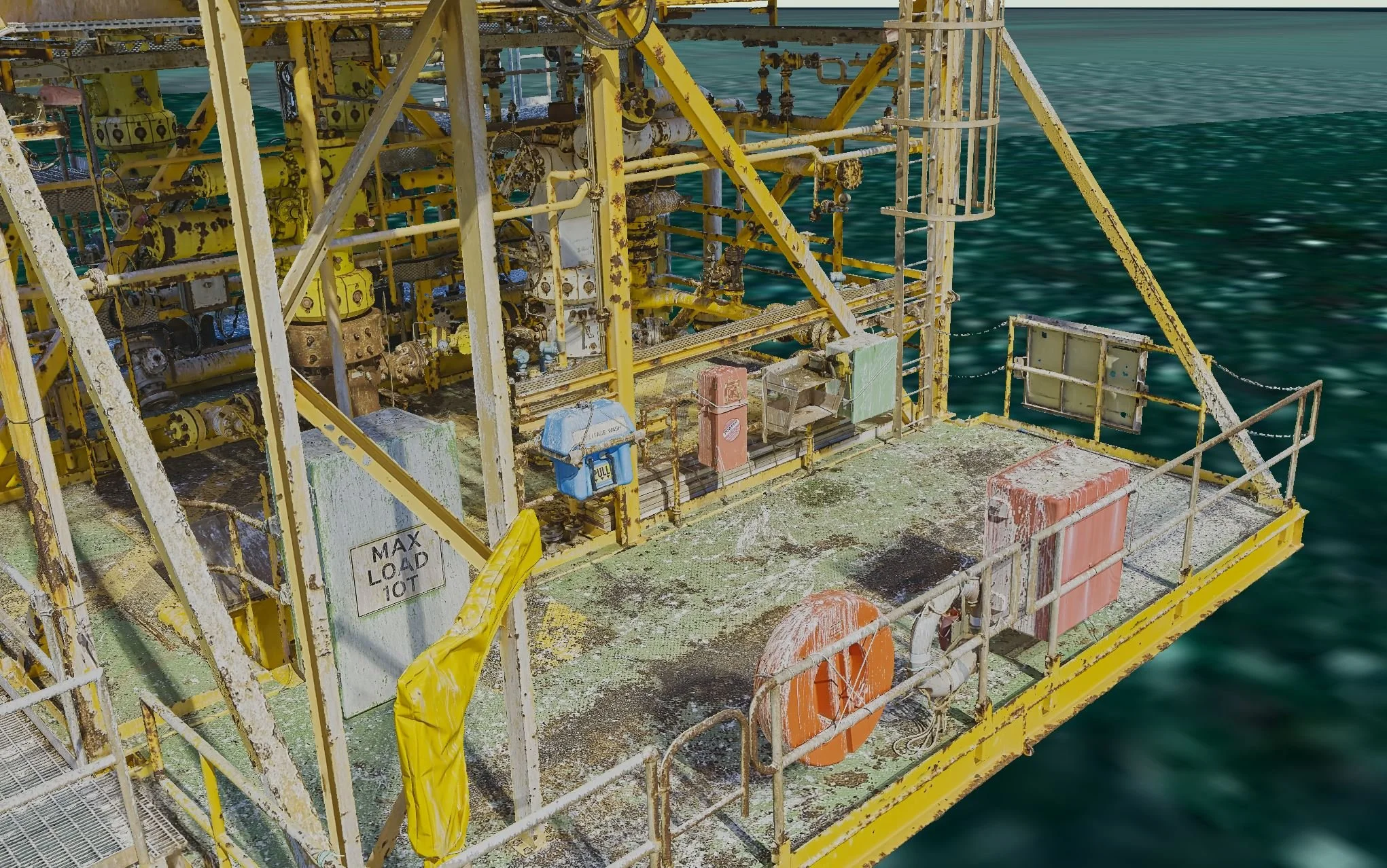
Fabrication & Engineering Grade Capture Solutions
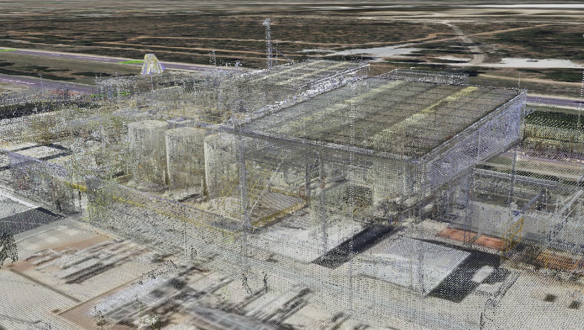
Engineering Point Cloud
Our engineering point cloud is suitable for design, fabrication, decommissioning, and back-modeling to match LOD 300. Our laser scanning is of engineering grade to ensure accuracy in construction and Building Information Management.

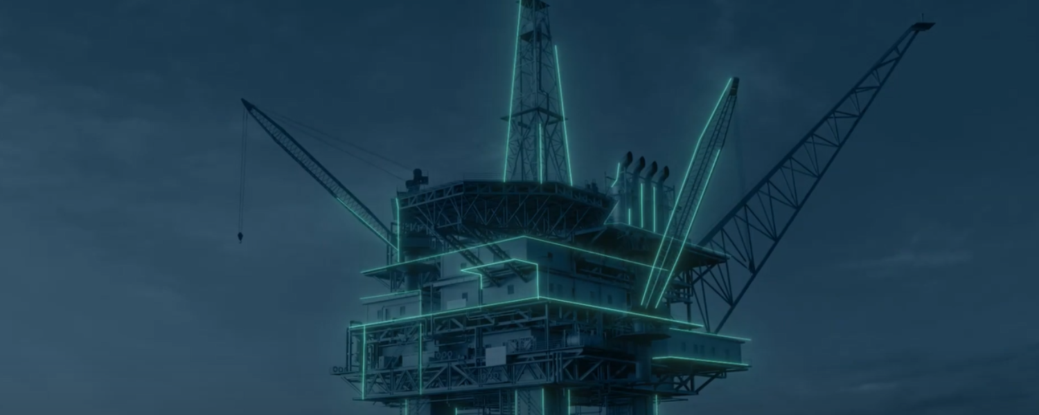
Digital Twin Lite
The Engineering Point Cloud, with external/aerial photogrammetry and geometry, forms the DT Lite. This innovative digital twin is versatile for collaboration, visual inspection, engineering design, work pack development, decommissioning, management of change, shutdown simulation, and project delivery planning.

Digital Twin HD
The DT HD incorporates internal or terrestrial photogrammetry and geometry, an upgrade from DT Lite. It is suitable for collaboration, close visual inspection, engineering design, work pack development, decommissioning, management of change, shutdown simulation, project delivery planning, and integration with AI, OCR, and Machine Learning.
Non-fabrication Capture Solutions
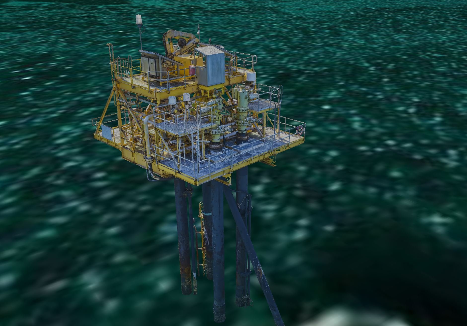
Aerial Photogrammetry
Aerial photogrammetry is a precise and safe way to inspect large areas or risky infrastructure with unparalleled accuracy and detail. It provides a comprehensive view using aerial images, eliminating the need for rope access and foot inspections.

Ground Mobile Scanning
Our ground-based laser scanning solution is a cost-effective and efficient way to survey sites for project planning, work pack development, walkthroughs, non-fabrication grade construction, and inductions. Our mobile laser scanning method captures detailed point cloud data (+-7mm) and 360-degree images, providing added context for your survey.
Aerial and Ground Laser Scanning
Our laser scanning solution provides a complete picture of your site in less than half the time. Our air and ground scanning covers internal and external infrastructure, with 10mm accuracy. This combination is perfect for large-scale projects, allowing for cost-effective capture for planning, work pack development, shutdown planning, contractor access, walkthroughs, and site inductions.
Case Studies
Airscope's innovative reality capture technology has revolutionised decommissioning frameworks and offshore safety assessments for leading companies in the industry, including Santos, Inpex, ExxonMobil, Esso, and more.
We deliver an enhanced decommissioning framework by conducting a comprehensive overview and a detailed digital twin model, minimising time on-site and enabling global collaboration.
Airscope's terrestrial laser scanners and aerial photogrammetry generate 3D models, resulting in improved project timelines and cost savings.
With high-definition photography and access to the site remotely, service providers could reduce the need for site inductions, permit applications, and travel, while detailed scheduling of operations became more precise, leading to safer and more efficient turnarounds.
By implementing Airscope's solutions, these companies experienced significant benefits, including reduced costs, improved safety, enhanced planning and analysis capabilities, and streamlined operations. Learn more about how our 3D reality capture technology can transform your projects.

“The beauty of having these models is that we are able to visualize our platforms in 3D on our computers at any time in any place. We can even share the information with our key contractors, which saves time and effort”
- Simon Kemp, Decommissioning Asset Manager, ExxonMobil Australia.

Transform the way you work with reality capture
Airscope's reality capture technology is designed to help organizations increase efficiency, enhance safety, and improve processes. We follow a 3-step methodology that takes our clients through the process of digitizing their assets to achieve the above-mentioned outcomes.
Our methodology includes Capture, Process, and Publish. We focus on accurate capture methods, precise data handling, and integration with clients' existing systems for ease of use. At Airscope, we offer customized solutions based on our clients' specific needs.
No destination is too difficult for our team of experts to capture. We combine structured capture workflows and in-field quality assurance to maintain data quality and accuracy between disciplines, even in highly dynamic environments.
Airscope Visualize is an interactive, SaaS connecting users instantly to an immersive 3D model of your asset. Users can navigate, compare, extract, notate, measure, and add documents, without the need for specialist hardware or software to be installed.
Using our in-house Visualize data library and custom-designed APIs, the Visualize 3D digital platform can be linked directly to your third-party business data sets. Through this function, users can show real-time and historical information about your sites.
Real data, real-time in one application.
Explore the elements of Airscope methodology
Let us show you how it works.
Reach out to our team via the form below to request a demonstration of Airscope technology and see the power of being able to capture, create, connect and collaborate with your team.